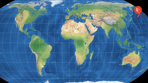

On Sunday, India stated that a United Nations-proposed world map must show the Union Territories of Jammu and Kashmir and Ladakh in line with the country’s official map, emphasizing that any depiction deemed inaccurate or misleading would be unacceptable.
New Delhi’s statement came two days after it supported a UN General Assembly resolution seeking to revise the world map to provide a more accurate depiction of continental landmasses.
The resolution, titled “Correct the Map: Rebalancing Global Cartographic Representation and Promoting Equitable Representation of the World’s Regions, Particularly Africa,” was approved on Friday.
External Affairs Ministry spokesperson Randhir Jaiswal stated that India emphasized the resolution does not amount to approval of any particular map, projection, or representation of national borders.
He said, “India’s sovereign territory, including the Union Territories of Jammu and Kashmir and Ladakh, must be shown in line with India’s official map. Any incorrect or misleading representation is unacceptable.”
Our stance on India’s sovereignty and territorial integrity is explicit, consistent, and not open to negotiation,” he stated.
Mr. Jaiswal added: “The resolution does not endorse or validate any specific world map, nor does it deal with political cartography, such as international borders, contested regions, or geographical names.”

