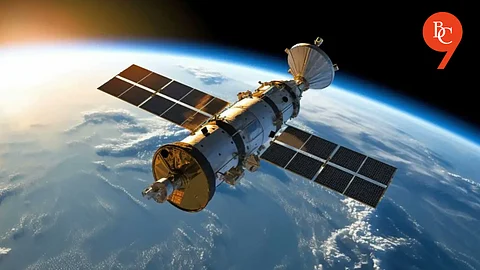

The much-anticipated NISAR (NASA-ISRO Synthetic Aperture Radar) satellite, acclaimed as the world’s most expensive Earth observation satellite, is poised for launch on 30 July 2025. This ambitious Indo-American joint venture between the National Aeronautics and Space Administration (NASA) and the Indian Space Research Organisation (ISRO) marks a new chapter in space exploration and environmental monitoring.
NISAR represents a true partnership of equals, combining NASA’s advanced synthetic aperture radar technology with ISRO’s robust satellite development and launch capabilities. The satellite, valued at over $1.5 billion, is designed to deliver unprecedented imaging of Earth’s surface, enabling scientists worldwide to better understand natural hazards, ecosystem disturbances, and the impacts of climate change.
This venture is the first NASA satellite to be launched on ISRO’s GSLV Mk III rocket, underscoring the growing trust and cooperation between the two space agencies. The launch is set from the Satish Dhawan Space Centre in Sriharikota, India, solidifying India’s role as a key player in global space missions.
Equipped with dual-frequency synthetic aperture radar, NISAR can capture high-resolution images through clouds and darkness capabilities that optical sensors cannot match. This all-weather imaging enables continuous monitoring irrespective of weather or daylight conditions.
The satellite’s data is vital for tracking earthquakes, volcanoes, tsunamis, landslides, and glacier dynamics with extraordinary precision, benefiting disaster preparedness and mitigation efforts globally.
The NISAR mission is expected to enhance scientific understanding in areas such as sea-level rise, deforestation, agricultural changes, and polar ice melt. By providing timely and accurate data, it empowers governments, researchers, and humanitarian agencies to make informed decisions promptly.
NISAR’s advanced radar imaging also promises to revolutionize disaster response by analyzing damage extent quickly after events; a crucial tool for rescue operations and resource allocation.
